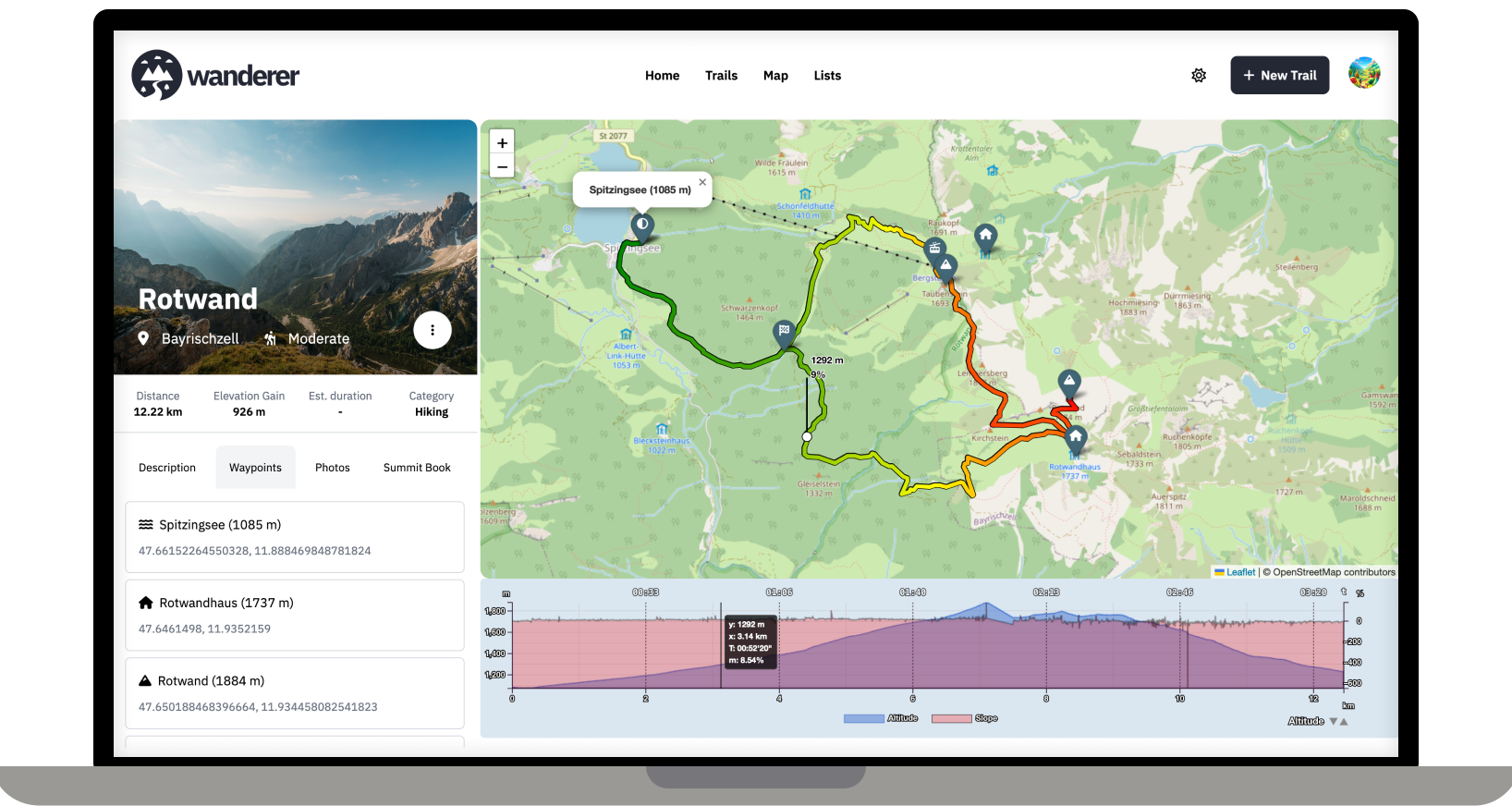
Strava has continued to enshittify the app to the point that I'm getting ads after every activity. Anyway, I decided to delete it after yesterday's run and will keep an eye on this project. Thanks!
Selfhosted
A place to share alternatives to popular online services that can be self-hosted without giving up privacy or locking you into a service you don't control.
Rules:
-
Be civil: we're here to support and learn from one another. Insults won't be tolerated. Flame wars are frowned upon.
-
No spam posting.
-
Posts have to be centered around self-hosting. There are other communities for discussing hardware or home computing. If it's not obvious why your post topic revolves around selfhosting, please include details to make it clear.
-
Don't duplicate the full text of your blog or github here. Just post the link for folks to click.
-
Submission headline should match the article title (don’t cherry-pick information from the title to fit your agenda).
-
No trolling.
Resources:
- selfh.st Newsletter and index of selfhosted software and apps
- awesome-selfhosted software
- awesome-sysadmin resources
- Self-Hosted Podcast from Jupiter Broadcasting
Any issues on the community? Report it using the report flag.
Questions? DM the mods!
Fittrackee has been what I use instead of Strava. Also FOSS.
I LOVE THIS.
Self hosted, GOOD LOOKING (rarity in FOSS), nice to use and privacy-aiding.
Thank you so much!
This is an excellent use case for a self hosted service, since location data is frequently used for nefarious purposes.
Welcome to Lemmy! I recently posted about Wanderer also in another self-hosting community: https://slrpnk.net/post/7887187
As someone interested in self-hosting this, I have two questions:
How far is it suitable for say a local hiking association or a small municipal government to use this as a public trail database to promote regional eco-tourism efforts? Where I live the local government has something like that, but it is badly maintained. For that to work it would need to have the ability to easily find trails on an overview map and to allow posting notices about trail closures etc. (ideally even crowd sourced?) Maybe also some way to mark trails as official, if they are designated and sign-posted.
Unrelated: have you thought about allowing the live-tracking via apps like Phonetrack or OSMand? I think that would make it both more convenient for uploading tracks (at least where there is sufficient cell-coverage) and might add an interesting social aspect to it if you can share your live-location with other users.
P.S.: Would be great if you could add it to https://translate.codeberg.org/ for adding additional languages easily.
Thanks for promoting wanderer! Finding trails on the map should be no problem, you can currently mark trails as public so that not logged-in users can see the trail. I have thought of steering wanderer towards a more socially interactive platform. I think a good first step would be to allow comments and implement a rating system.
Thanks for the crowdsourced translation website. I was looking for something like this. I will set it up and add it to the contributing section of the documentation.
